
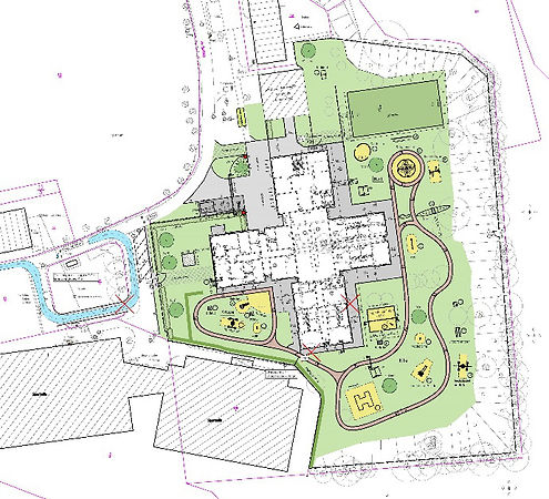
Topographical Surveys
Land, building and boundary's included
Our Topographical surveys are highly detailed and super accurate. We complete all Topographical surveys using 3D point cloud scanning technique. The 2D drawing is then cut from the cloud before and the drawing and cloud are issued to the client. Various 3D cloud formats can be used or a viewer supplied to navigate the cloud free of charge for anyone not familiar with 3D software.
Essential for design and architectural understanding of a specific area.
All surveys are rotated onto some form of coordinate system, from OS to localized, at the discretion of the client.
3D Point Cloud Laser Scanning
We are confident of beating any quotation for the 3D scanning works.
This is one of our most popular services available. Providing highly accurate 3D point cloud scans with a full range of outputs including. rcp / .lgs / .e57 / .pts formats and more all to suit the client needs.
The scans we produce have have been used for multiple purposes including to design from, for cutting floor plans and section drawings as well as-built comparisons to design or models.
Scans can easily be rotated onto site or OS grids.
As standard we also provide Truview access. This option allows anyone, without the need to have expensive 3D software to view, navigate and interrogate the point cloud.
Contact for examples.

Setting-out and measured building surveys
High accuracy - High visibility
All forms of setting-out and detailed survey options are available. Including grid-lines, datums, cladding, buried services, block and brickwork. With extensive experience on RC and steel frame structures.

Drone surveys and DTM Modelling
Fully CAA approved for drone flights
Our fully CAA approved drone pilots allow us to utilise drone technology for a multitude if uses. From terrain and topographical surveys, volumes and standard high resolution videography. We have the ability to meet any client needs.

Monitoring services
High accuracy - clear and concise reporting
High accuracy monitoring is a service we regularly provide. From building facades and structural elements to sewer pipes and road surfaces we can monitor almost anything to a very high accuracy. Issuing clear and concise data and reports to mirror any movement.

Control network establishment and transfer
Control establishment and maintenance
We can establish highly accurate control networks in any location. Using both GPS and OS maps combined with proficient the use of Starnet software with traverse data the control networks we provide are well documented and extremely reliable.
Transferring control (plumbing) through structures is also a service we provide our clients.
